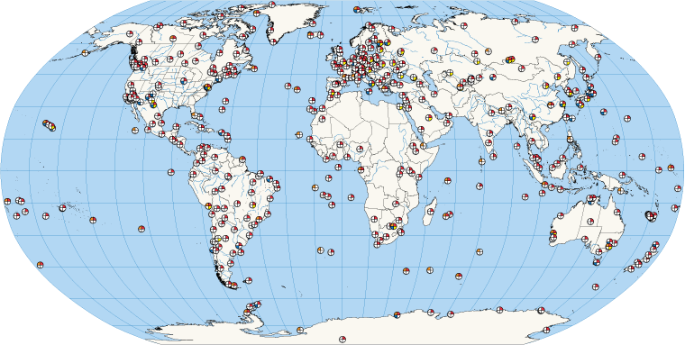

The long-awaited SLR-tailored version of ITRF2020, the SLRF2020, has been released to the public, along with the associated Data Handling File required for proper and accurate reduction of SLR data. Both files contain notes that are important to users, especially to those requiring the highest quality results in their work; it is imperative that users read these notes before implementing the new TRF in their production lines.
The two files can be accessed from the ILRS website pages:
https://ilrs.gsfc.nasa.gov/science/dataAnalysisResources/index.html
https://ilrs.gsfc.nasa.gov/network/site_information/index.html
CDDIS Landing pages with the appropriate DOIs are here:
https://cddis.nasa.gov/Data_and_Derived_Products/SLR/slrf_2020.html
https://cddis.nasa.gov/Data_and_Derived_Products/SLR/slrf_2020_DHF.html
Dear Colleagues,
Recently, some of you may have received an email from the CFI Group on behalf of NASA. This message asked you to complete a survey for users of NASA Earth science data and services, which includes the Crustal Dynamics Data Information System (CDDIS). The CDDIS is one of twelve NASA Earth Observing System Data and Information System (EOSDIS) science data centers evaluated by this survey. The purpose of this survey is to help NASA and the DAACs assess customer satisfaction and improve future services. Suggestions from past surveys have been implemented to improve the tools and services offered by the CDDIS.
Please participate! Your feedback affects our future performance and helps to identify science needs. You will be able to take the survey for each DAAC you use. This is your opportunity to influence the priorities of the DAACs, including CDDIS.
If you did not receive a survey and wish to complete one or know of someone who uses CDDIS and/or EOSDIS data and services who did not receive a survey, please contact
surveyhelp@cfigroup.com.
The American Customer Satisfaction Index (ACSI) is the only national cross-industry measure of customer satisfaction in the United States. NASA commissioned the CFI Group, an independent research and consulting organization, to conduct a brief survey to rate the products and services NASA currently provides from NASA's EOSDIS data centers. Please consider responding to this survey; your input will help us to better serve our user community.
Presentations of these results given to NASA Earth science are available at:
https://earthdata.nasa.gov/acsi
Thank you in advance to all of you who are willing to spend a few minutes to complete the survey.
On Wednesday, September 28, 2022, at 2:00 PM EDT (18:00 UTC), the CDDIS will present a webinar titled, "GNSS Products at NASA's CDDIS for Disaster Monitoring, Crustal Deformation, Extreme Weather, and Other Applications". The presenters will be Dr. Patrick Michael, CDDIS; Dr. Yehuda Bock, Scripps Orbit and Permanent Array Center, U. of California San Diego; and Dr. Angelyn Moore, Ionospheric and Atmospheric Remote Sensing Group, Jet Propulsion Laboratory, California Institute of Technology. Join us to learn about the NASA Making Earth System Data Records (ESDR) for Use in Research Environments (MEaSUREs) Extended Solid Earth Science ESDR System (ESESES) project, whose Global Navigation Satellite System (GNSS)-derived data products enable research on tectonic motion, crustal deformation, earthquakes, tsunamis, sea level rise, extreme weather, and more!
Register now at https://www.earthdata.nasa.gov/learn/webinars-and-tutorials/webinar-cddis-gnss-2022-09-28
Beginning Monday, August 29, 2022: In order to correct a format error by CDDIS and make it match the current expected format of MD5 and SHA512 checksum utilities, the CDDIS will reformat all existing MD5SUMS and SHA512SUMS checksum files, switching from <filename><space><checksum> to <checksum><space><space><filename>. Thank you for your patience while we complete this work. For questions and concerns, please contact us at support-cddis@earthdata.nasa.gov
![]()
Search the CDDIS archive by using the NASA Earthdata Search API. This comprehensive API allows you to create queries that can be integrated into custom software enabling a wide range of searches to be built. Examples are provided for Python and cURL.